|

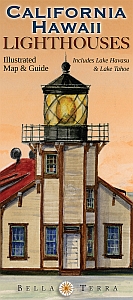
Cover: Point Cabrillo, CA,
© Gerald C. Hill.
|
|
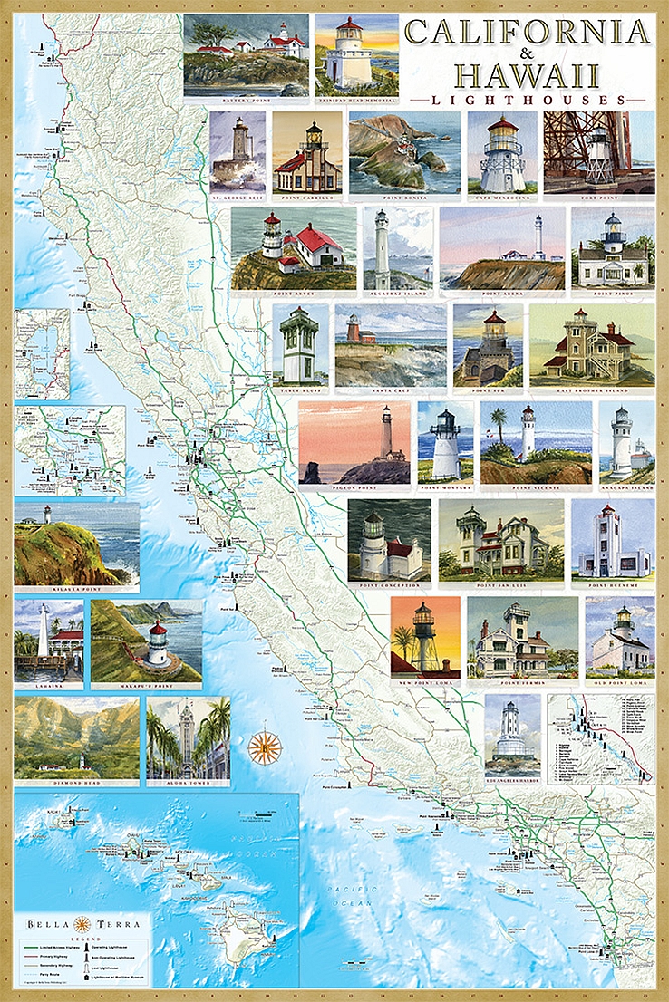
CALIFORNIA & HAWAII LIGHTHOUSES
Illustrated Map & Guide – Revised 2nd Edition
- Detailed shaded relief maps of California & Hawaii.
- Insets for San Francisco Bay Area, Lake Tahoe & Lake Havasu (including Arizona).
- Locations of all standing & "lost" lighthouses.
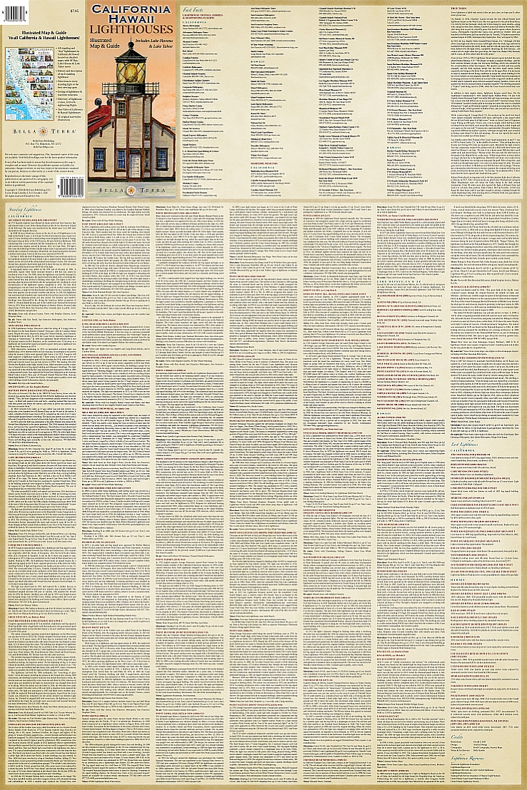
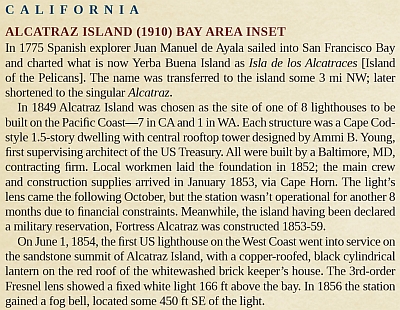
- History & description of each lighthouse.
- Detailed directions to view each standing light.
- Locations & directory of lighthouse & maritime museums.
- Directory of lighthouse cruises, ferries & sightseeing flights.
- True Tales of California & Hawaii lighthouses.
- 31 original watercolor illustrations—available as art prints & notecards.
- Size: 24 x 36 inches. Fits standard frames.
| |


