| DISTINCTIVE VIEWS of OUR BEAUTIFUL WORLD |
| Home Art Covered Bridges Lighthouses Military Pirates Railroads Shipwrecks |
 Cover: West Quoddy Head © Rob Thorpe |
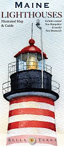
MAINE LIGHTHOUSES Illustrated Map & Guide – Revised 6th Edition
|
 |
|
FOLDED MAP Size 36" x 24", folded to 4" x 9" Retail price $7.95 ISBN 978-1-888216-28-8 UPC 025058007504
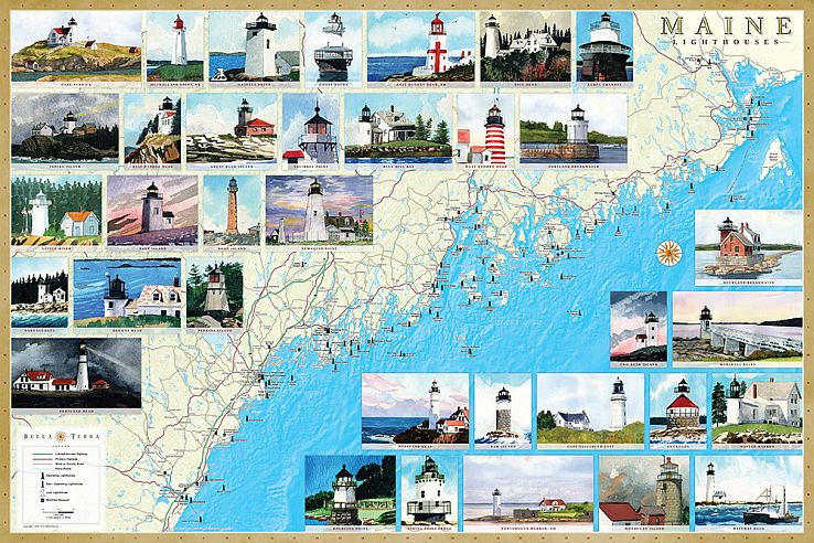
LAMINATED POSTER |
 |
|
||
|
P.O. Box 731, Rhinebeck, NY 12572 • tel 845-758-1460 • fax 866-954-6119 • sales@bellaterramaps.com Copyright © 2025. Bella Terra® is a registered trademark of Bella Terra Publishing, LLC |